

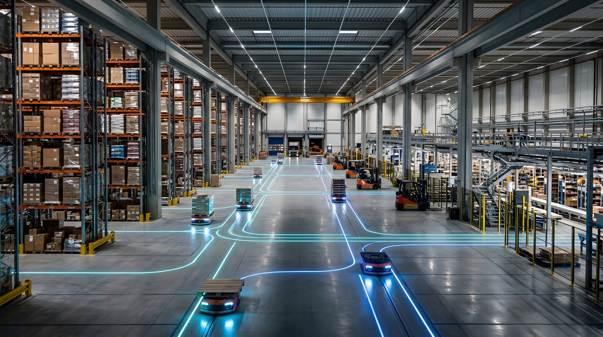
Real-Time Location Solutions for Critical Environments
Sub-meter accuracy. Real-time visibility. Built for the industrial world.
Request a demoSee every asset, live
Squawk combines UWB and Bluetooth 5.1 Angle of Arrival (AoA) technology to deliver sub-metre, real-time positioning, helping you track tools, equipment, pallets and people across factories, warehouses and facilities.
Partnering with Siemens Location Intelligence
Our partnership with Siemens Location Intelligence brings Squawk's RTLS portfolio to a global stage. Across UWB, AoA BLE and BLE + RFID, customers get innovative hardware, the latest software and seamless Siemens integration, backed by two industry leaders.
Find out moreFeatured capabilities
Increased productivity
Find tools, equipment and pallets in seconds instead of searching for them, so teams spend their time on the work that matters.
Improved safety
Know where people are on site in real time, so you can manage hazardous areas and account for everyone in an emergency.
Reduced downtime
When something goes wrong, locate critical assets and spare parts straight away and get lines running again sooner.
Better utilisation
See how assets are actually used across your site, spot idle equipment and make better decisions before buying more.
Full traceability
Follow tagged assets and materials with sub-metre accuracy and build a clear record of where they have been.
Location intelligence, in real time
-
Step 01
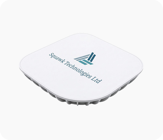
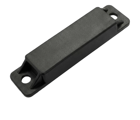
Anchors
Fixed anchors across your site pick up tag signals and calculate location in real time. Infrastructure scales from a single bay to multi-floor, multi-building enterprise sites.
-
Step 02
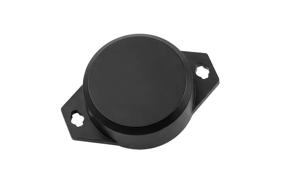
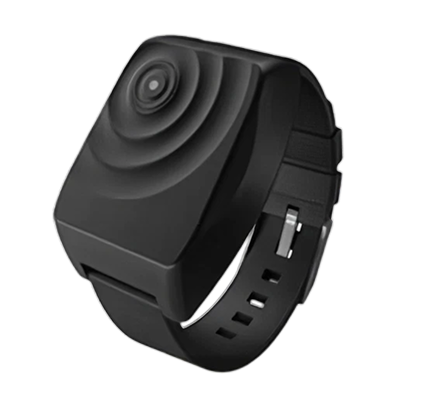
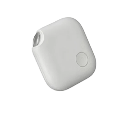
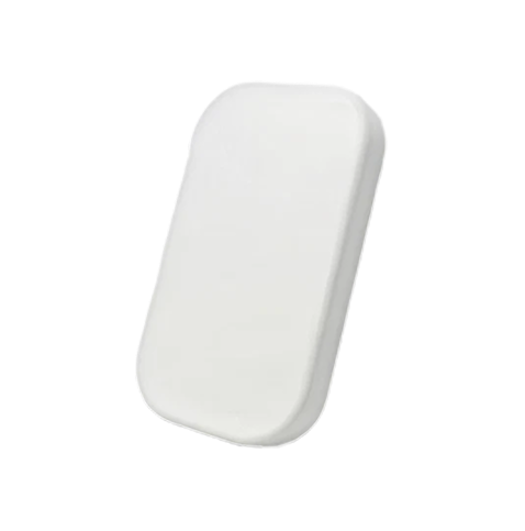
Tags
Assets, people and equipment are fitted with small, durable RTLS tags (BLE AoA or UWB). A comprehensive range covers every application, from compact asset tags to personnel wristbands and industrial-grade devices.
-
Step 03
Software
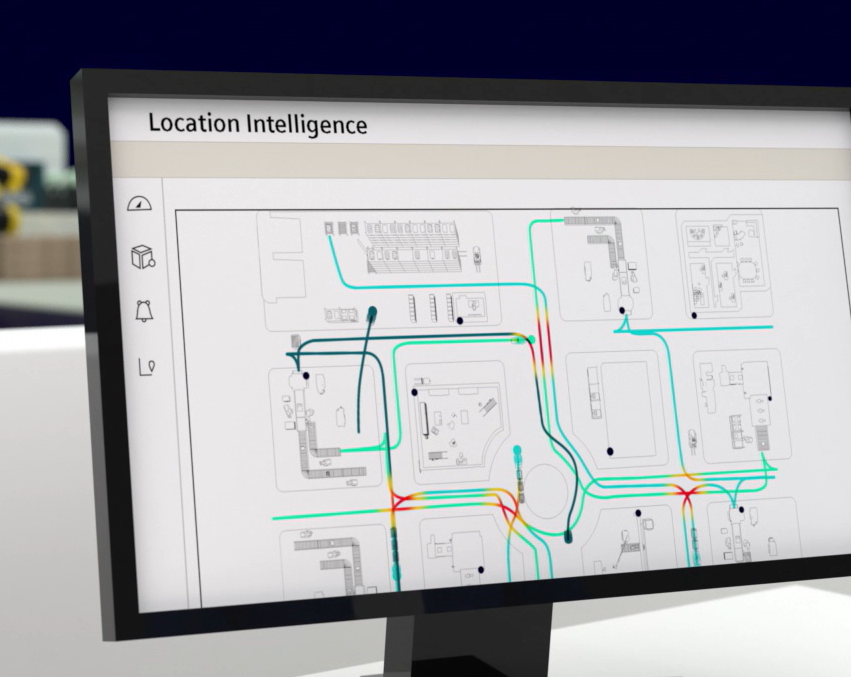
Our platform processes the data and gives you live locations, zone alerts, analytics and more, accessible via dashboard, API and configurable alerts.
Two ways to track
Know where your assets, vehicles and people are at any moment. We offer two proven tracking technologies, each suited to different needs, so you get the right balance of accuracy and cost for your site.
Ultra-Wideband (UWB)
Precise tracking to around 30 cm, even around metal and machinery. Ideal for vehicles, tools and workpieces in production.
Angle of Arrival (AoA)
Low-cost Bluetooth tags tracked by fixed sensors. A cost-effective choice for monitoring assets and people across large sites.
Industrial use cases
Pharmaceutical
Maintain chain-of-custody for high-value materials and equipment. Audit-ready location history for regulatory compliance.
Food & beverage
Track pallets, ingredients and returnable containers through production and storage, so stock moves first in, first out and recalls are easier to trace.
Automotive
Follow vehicles, tools and workpieces along the line in real time, cutting search time and keeping assembly running to schedule.
Industrial
See where tools, equipment and people are across the factory floor, and spot bottlenecks before they slow production down.
Aerospace & defence
Keep track of high-value tooling and components across large hangars and secure sites, with a clear record of where each item has been.
Logistics & warehousing
Locate pallets, forklifts and stock instantly, speed up picking and loading, and stop time lost searching for misplaced goods.
Frequently asked questions
Squawk Technologies uses Bluetooth 5.1 Angle of Arrival (AoA) technology to provide real-time indoor positioning of tagged assets, equipment and personnel.
Fixed AoA locating infrastructure receives Bluetooth signals transmitted by Squawk tags. By analysing the angle at which the radio signal arrives at multiple antennas, the system calculates the position of the transmitting tag within the monitored environment.
This allows organisations to move beyond simply knowing whether an asset is present and instead understand where it is, where it has moved and how long it has remained within specific operational areas.
Traditional Bluetooth tracking commonly uses Received Signal Strength Indicator (RSSI) to estimate the proximity of a tag to a receiver.
This can provide useful room-level or zone-level information but is generally less suitable where precise positioning is required.
Bluetooth 5.1 AoA uses an antenna array to determine the direction from which the Bluetooth signal was received. Combining this information across the locating infrastructure allows the platform to calculate a substantially more precise position.
This makes AoA suitable for applications including manufacturing, aerospace, automotive, logistics, pharmaceutical and healthcare environments where accurate asset location is important.
Squawk AoA is designed to provide sub-metre positioning accuracy when deployed within a correctly engineered environment.
Actual performance depends on factors including:
- Anchor positioning and installation height
- Building geometry
- Metal structures and machinery
- RF reflections and obstructions
- Required coverage area
- Tag positioning
- Infrastructure density
Squawk evaluates these factors during system design to determine the appropriate infrastructure configuration for the required application.
Yes. Squawk AoA continuously receives location information from transmitting tags and updates their position within the RTLS platform.
The required update frequency can be configured depending on the application. For example, a rapidly moving production asset may require more frequent positioning updates than equipment that normally remains stationary.
The configuration can therefore balance location responsiveness, network traffic and tag battery consumption.
Yes. The architecture is designed to support large numbers of tagged assets.
The system can be scaled from an individual production area or proof-of-concept deployment through to multiple departments, buildings or operational sites.
The final architecture is determined by factors including the required number of tags, location update frequency, coverage area and customer infrastructure.
There is no fixed number because the infrastructure requirement depends on the customer’s environment.
Squawk would typically consider:
- Building dimensions
- Ceiling height
- Required accuracy
- Equipment and machinery
- Metal structures
- Shelving and racking
- Walls and partitions
- Required tracking zones
- Number of floors
- Tag density
The infrastructure is then engineered around the required coverage and positioning performance rather than applying a generic anchor quantity.
Squawk AoA can be applied to a wide variety of trackable items, including:
- Production components
- Tools
- Work-in-progress
- Containers
- Trolleys
- Pallets
- Medical equipment
- Pharmaceutical assets
- Aerospace tooling
- Automotive components
- Machinery
- Returnable transport items
- Personnel using wearable tags
Different tag formats can be selected depending on the physical asset and operational requirement.
Yes. Wearable Bluetooth tags can be used within the same RTLS infrastructure to provide positioning of authorised personnel, visitors or contractors.
This can support applications such as:
- Personnel location
- Restricted-area monitoring
- Zone entry and exit events
- Dwell-time measurement
- Worker-to-asset interaction analysis
- Safety workflows
For example, an organisation could determine how long an engineer was present within a particular production area or how long they were associated with a particular piece of equipment.
Geozoning allows virtual operational areas to be created within the Squawk RTLS platform.
These could represent areas such as:
- Assembly
- Inspection
- Quality control
- Quarantine
- Dispatch
- Tool storage
- Restricted access
- Maintenance
- Work-in-progress areas
Business rules can then be associated with those zones.
The system can detect when a tracked item enters, exits or remains within a defined zone and use that event to trigger workflows or alerts.
Yes. Geozone rules can automatically identify when an asset enters an incorrect, restricted or unexpected area.
The resulting event can be used to generate a digital alert within the RTLS platform or can be passed to other systems through integration.
With compatible Squawk tags, a digital event can also be converted into a physical alert on the asset itself, such as an audible buzzer or flashing LED.
Yes, compatible Squawk tags can provide physical notification functionality.
For example, when an asset enters an incorrect geozone, the RTLS software can generate an event that causes the tag to flash an LED and/or generate an audible alert.
This means the RTLS system does more than highlight a problem on a computer screen. It can communicate directly with the physical asset or operator within the working environment.
Yes. This is one of the key functions of the Squawk Picker Tag.
A user can first locate the asset digitally through the RTLS software and then send a manual ping command to the tag.
The selected tag can then flash and produce an audible beep, making it significantly easier for an operator to identify the exact physical item amongst many similar assets.
This provides the connection between digital asset visibility and physical asset retrieval.
Yes. Because the RTLS platform records zone entry and exit events, it can calculate the dwell time of an asset within an operational area.
This can help organisations identify:
- Excessive waiting time
- Production bottlenecks
- Work-in-progress accumulation
- Long inspection periods
- Asset inactivity
- Process delays
- Equipment utilisation
Historical information can subsequently be analysed to improve operational processes.
Yes. Location data can be stored and analysed to provide historical visibility of asset movement.
Instead of simply asking “Where is this asset now?”, an organisation can also investigate:
- “Where has this asset been?”
- “How long was it there?”
- “Which zones did it move through?”
- “How long did each stage of the process take?”
This allows RTLS information to support both real-time operations and longer-term process optimisation.
Yes. Historical location and dwell information can be represented through visual analytics such as movement patterns, zone occupancy and heatmaps.
This can help identify areas where assets or personnel consistently spend excessive amounts of time and highlight potential congestion or inefficient process flow.
Ready to see where your assets really are?
Get in touch to discuss the right tags and anchors for your site.